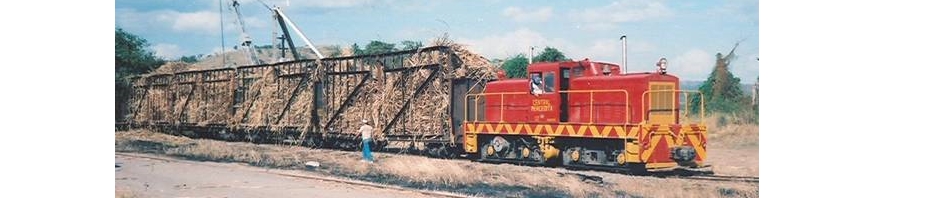
Central Mosquito
Vieques
Gauge / Trocha (ancho de vía):
—
La Central Mosquito tenía una locomotora 2-4-0 Baldwin para c1900-10.
Copeland, P. Allen. Locomotive Rosters – Railways of the West Indies, Part IV, Puerto Rico”. 48. Railways of the West Indies, Puerto Rico
—

National Atlas of the United States
—
César Ayala. 2001. “ From Sugar Plantations to Military Bases: the U.S. Navy’s Expropriations in Vieques, Puerto Rico, 1940-45 .” Centro: Journal of the Center for Puerto Rican Studies 13(1) (Spring 2001): 22-44.

Map shows locations of other sugar mills. En el mapa vemos la localización de las otras centrales en Vieques.
Permission: Prof. Xavier F. Totti, Editor, CENTRO: Journal of the Center for Puerto Rican Studies, Hunter College, 695 Park Avenue, E-1429, New York, NY 10065
http://centropr.hunter.cuny.edu
—
 Field Operations, Bureau of Chemistry and Soils. Soil Map, Western Sheet, Puerto Rico [map]. Agricultural Experiment Station, University of Puerto Rico, 1936. (Partial Map)
—
Para ver más mapas visite Mapas Topográficos Históricos del USGS (U.S. Geological Survey)USGS Historical Topographic Maps (Online) ( http://geonames.usgs.gov/pls/topomaps/). Busque los mapas de Vieques usando “Isla de Vieques”.
For more maps, visit Mapas Topográficos Históricos del USGS (U.S. Geological Survey)
USGS Historical Topographic Maps (Online) ( http://geonames.usgs.gov/pls/topomaps/). Search using the term “Isla de Vieques”