Central Mercedita
Ponce
Gauge / Trocha (ancho de vía): 26 in and meter / metro
Mercedita, Ponce, Closed 1986, 26 inch (G) and later meter gauge. (Central Mercedita)
Longest operating railroad, over 100 years. Tuvo el ferrocarril de más duración, sobre 100 años.
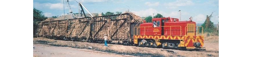
Foto Roger Aponte
National Atlas of the United States
Foto Roger AponteVer / See: Central Mercedita Unloading Facilities /
Central Mercedita – Area de descarga de caña
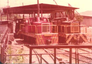
Colección Dave Deyo
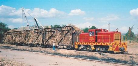
Colección Dave Deyo
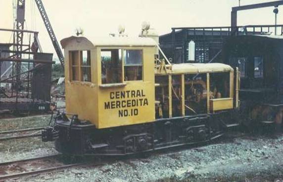
Colección Dave Deyo
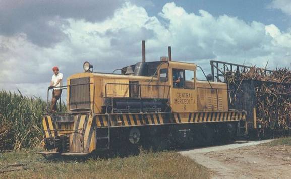
Colección Dave Deyo
Central Mercedita – From map prepared and published by the Defense Mapping Agency, Topographic Center, Washington, D. C., Map information as of 1977, Scale 1:50,000
Ver / See:
USGS, Ponce, PR, 1945
Copeland, P. Allen. Locomotive Rosters – Railways of the West Indies, Part IV, Puerto Rico”. 46. Railways of the West Indies, Puerto Rico
Escudero, Jaime. “Centrales Azucareras de Puerto Rico.” Recinto Universitario de Mayagüez, Universidad de Puerto Rico, Web. 24 Sept. 2014. <http://blogs.uprm.edu/canadeazucar/>.
Long, W. Rodney. Porto Rico, Railways of Central America and the West Indies . Washington: Government Printing Office, 1925. Pag. 336. Print. (HATHI TRUST digital Library http://catalog.hathitrust.org/Record/000970279 (11 Oct. 2013))
Copyright: Public Domain, Google-digitized. 352.Meyers, Fred I., Publisher. The Puerto Rico Sugar Manual, including data on Dominican Republic and Haiti, 1948. New Orleans, LA: Gilmore Publishing Co., (1948). 152